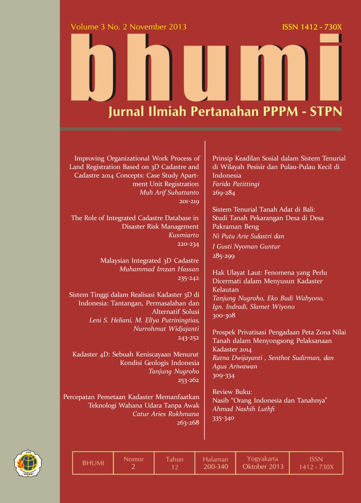
KADASTER 4D: SEBUAH KENISCAYAAN MENURUT KONDISI GEOLOGIS INDONESIA
Abstract
The geologic condition of the Indonesian archipelago; lying on the meeting zone of three big global tectonic plates
which actively moves, often causes the rising of many faults in the region. The faults have various activities ranging from silent
motion to active motion category. Today there are many land parcels located on the faults. Some of them have been registered
at the local Land Office. Due to the active motion of the faults, it is possible that there are movements of the land position and
dimension. This may cause disputes on land boundaries. The 4D Cadastre is aimed at anticipating the coming problems.
Keywords: Tectonic activities, geologic faults, land parcels.
Downloads
References
Al Qur’anul Karim
Abidin, Hasanuddin Z.. 2000. Penentuan Posisi
dengan GPS dan Aplikasinya, Cetakan
kedua, Pradnya Paramita, Jakarta.
Andreas, Heri. 2011. “Epoch Reference 2012.0”
dalam Prosiding FIT 2011 ISI, Semarang.
Hofmann-Wellenhof, B.; Lichtenegger, H. and
Collins, J.. 1992. GPS, Theory and Practice,
Springer-Verlag, Wien - New York.
Hutabarat, Sahala dan Evans, Stewart M.. 1985.
Pengantar Oseanograf i, UI Press, Jakarta.
Ilk, Karl Heinz. 1996. Reference Systems in Geodesy,
Lecture notes part 5, 2nd Tropical
School of Geodesy, ITB Press, Bandung.
Kamaluddin, La Ode. 2005. Indonesia sebagai
Negara Maritim dari Sudut Pandang Ekonomi,
Edisi pertama Cetakan pertama,
UMM Press, 2005.
Lobeck, A.K.. 1939. Geomorphology, McGraw Hill,
New York-London.
Mobbs, Kim and Morgan, Peter. 1996. Geodinamics
and Modern Datum Definition, lecture
notes part 6, 2nd Tropical School of Geodesy.
Munir, Moch.. 1996. Geologi dan Mineralogi
Tanah, Cetakan pertama, Dunia Pustaka
Jaya, Jakarta.
Purbo-Hadiwijoyo, M.M.. 1994. Kamus Kebumian,
Grasindo, Jakarta.
Rizos, Chris. 1996. Principles of GPS Surveying.
2nd Tropical School of Geodesy, Bandung 4-
16 Nov. 1996.
Santoso, Djoko. 2002. Pengantar Teknik Geof
isika, Cetakan pertama, Penerbit ITB,
Bandung.
Soeprapto, Tjoek Azis. 2004. “Pengelompokan
Pulau-pulau Berdasarkan atas Genesanya
untuk Perencanaan Tata Ruang Wilayah
Laut” dalam Menata Ruang Laut Terpadu,
Cetakan pertama, PT. Pradnya Paramita,
Jakarta.
Suharyadi. 2006. Pengantar Geologi Teknik, Edisi
5, Biro Penerbit Teknik Sipil UGM, Yogyakarta.
Sukandarrumidi. 2011. Pemetaan Geologi, Cetakan
pertama, Gadjah Mada University Press,
Yogyakarta.
Sunantyo, T. Aris dan Fahrurrazi, Djawahir. 2011.
“Jaring Kontrol Geodetik Dinamik di Wilayah
Tektonik Indonesia” dalam Prosiding
FIT 2011 ISI, Semarang.


