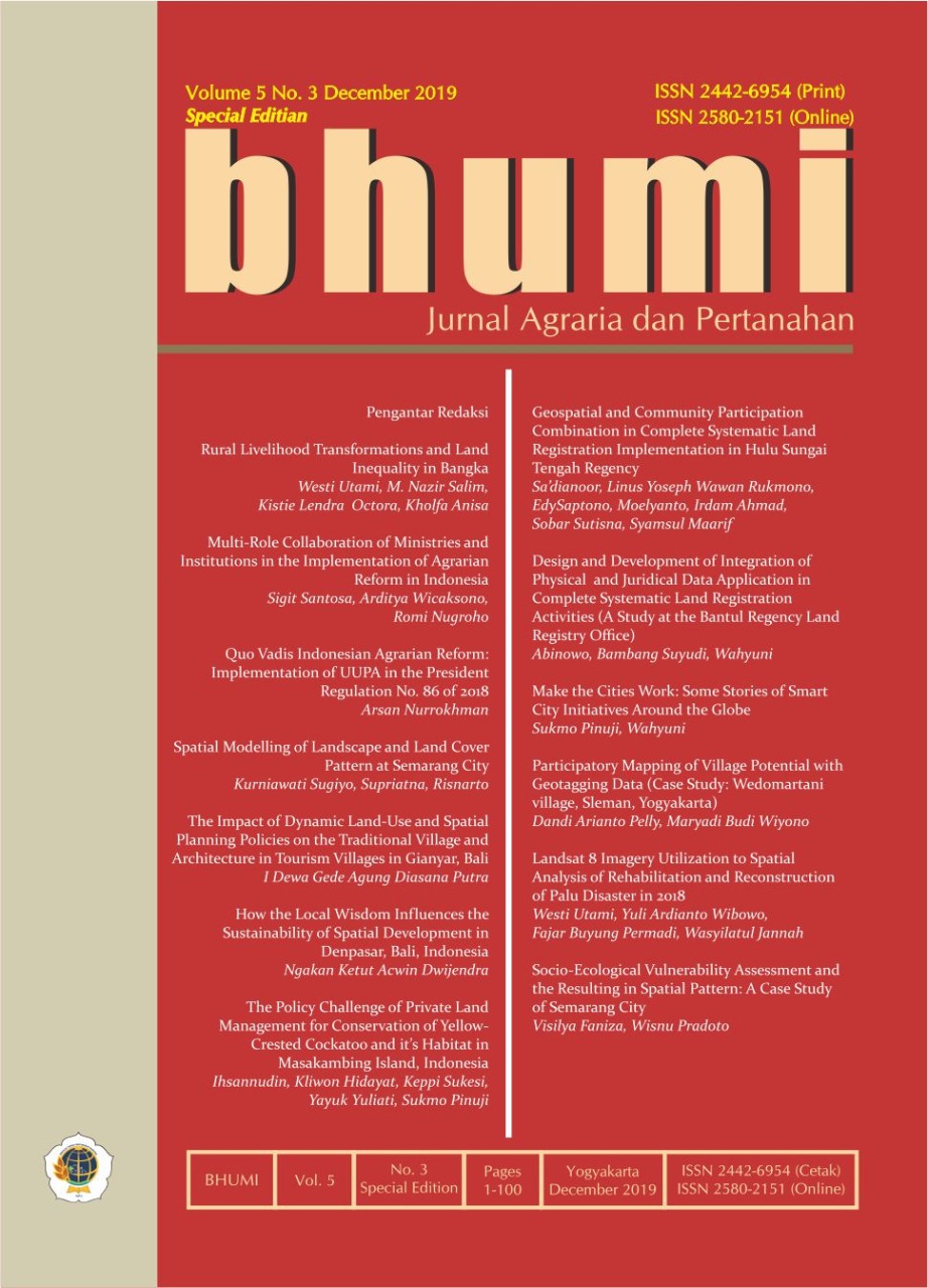
Geospatial and Community Participation Combination in Complete Systematic Land Registration Implementation in Hulu Sungai Tengah Regency
Keywords:
Defense, Agriculture, Geospatial.
Abstract
Land certification provides land legal certainty for every citizen of the Republic of Indonesia, especially, farmers, who constitute the majority of the population of Indonesia. The importance of the agricultural land has been explained in the Republic of Indonesia’s Defense White Paper that the growing amount of agricultural land has a detrimental effect on the Indonesian nation which is agrarian. Decreasing agricultural land is the main factor causing reduced food security. Geospatial technologies such as remote sensing and terrestrial surveys are very helpful for Complete Systematic Land Registration (PTSL) activities. However, the implementation in the field of technology has not yet been optimized due to the lack of the support from Regional Government and the Community. By taking the PTSL implementation in two villages in Barabai Subdistrict, Hulu Sungai Tengah Regency, it was found that problems related to the absence of certaintyof village boundaries, accurate and scattered control points and community understanding of the importance of the legality of their land are inhibiting factors for PTSL activities. By combining this technology with community participation it will produce the right and ideal combination.Downloads
Download data is not yet available.
References
Arnowo, WH 2017, Pertanahan, agraria, dan tata ruang, Jakarta: Kencana.
Dwivedi, RS 2019,Geospatial technologies for land degradation assessment and management. Boca Raton: CRC Press.
Ghilani, Charles D, Wolf, PR 2008, Elementary surveying an introduction to geomatics, Twelfth, New Jersey: Pearson Education.
Jusuf Sutanto dan Tim (ed.) 2006, Revitalisasi pertanian dan dialog peradaban, Jakarta: Penerbit Bukum Kompas.
Klimach, A., Dawidowicz, A. and Dudzi?ska, M 2019, ‘An evaluation of the informative usefulness of the land administration system for the Agricultural Land Sales Control System in Poland System in Poland’, Journal of Spatial Science, Taylor & Francis, 00(00), pp. 1–25. doi: 10.1080/14498596.2018.1557571.
Maarif, S 2011, ‘Meningkatkan Kapasitas masyarakat dalam mengatasi risiko bencana kekeringan’, Jurnal Sains dan Teknologi Indonesia, 13(2), pp. 65–73.
Mujiburohman, DA 2018, ‘Potensi Permasalahan Pendaftaran Tanah Sistematik Lengkap (PTSL)’, BHUMI: Jurnal Agraria dan Pertanahan, 4(1). doi: 10.31292/jb.v4i1.217.
Opaluwa, YD et al. 2014, ‘Surveying and Mapping in Sustainable Land Administration and Socioeconomic Development in Nigeria: An Overview’, 3(2), pp. 88–97. doi: 10.5923/j.ajgis.20140302.03.
Purbawa, SMY 2018, ‘Optimalisasi faktor–faktor yang memengaruhi keberhasilan Pendaftaran Tanah Sistematis Lengkap’, BHUMI: Jurnal Agraria dan Pertanahan, 4(2), pp. 190–207.
Rachman, NF 1999, Petani & penguasa: dinamika perjalanan politik agraria indonesia. Yogyakarta: INSIST, KPA, Pustaka Pelajar.
Republik Indonesia 2015, Peraturan Menteri Pertahanan Republik Indonesia Nomor?: 23 Tahun 2015 tentang Buku Putih Pertahanan Indonesia 2015, Jakarta: Kementerian Pertahanan RI.
Su, B et al. 2018, ‘How does nonfarm employment stability influence farmers’ farmland transfer decisions? Implications for China’s land use policy’, Land Use Policy. Elsevier, 74(17), pp. 66–72. doi: 10.1016/j.landusepol.2017.09.053.
Sutisna, S 2006, ‘Delineation and Demarcation Surveys of The Land Border in Timor: Indonesian Perspective’, in The International Symposium on Land and River Boundaries Demarcation and Maintenance in Support of Borderland Development. Bangkok.
Xiao, W and Zhao, G 2018, ‘Agricultural land and rural-urban migration in China: A new pattern’, Land Use Policy. Elsevier, 74(May 2017), pp. 142–150. doi: 10.1016/j.landusepol.2017.05.013.
Published
2021-02-02
DIMENSIONS
How to Cite
Sa’dianoor, S., Wawan Rukmono, L. Y., Saptono, E., Moelyanto, M., Ahmad, I., Sutisna, S., & Maarif, S. (2021). Geospatial and Community Participation Combination in Complete Systematic Land Registration Implementation in Hulu Sungai Tengah Regency. BHUMI: Jurnal Agraria Dan Pertanahan, 5(3). https://doi.org/10.31292/jb.v5i3.391
Section
Articles


